1
/
of
34
viki.knott
Two Edinburgh Maps c1877/78 ~ Easter Road, Lochend Road, Restalrig Park, Prospect Bank
Edinburgh and its Environs Map. Sheet 22 & 22a
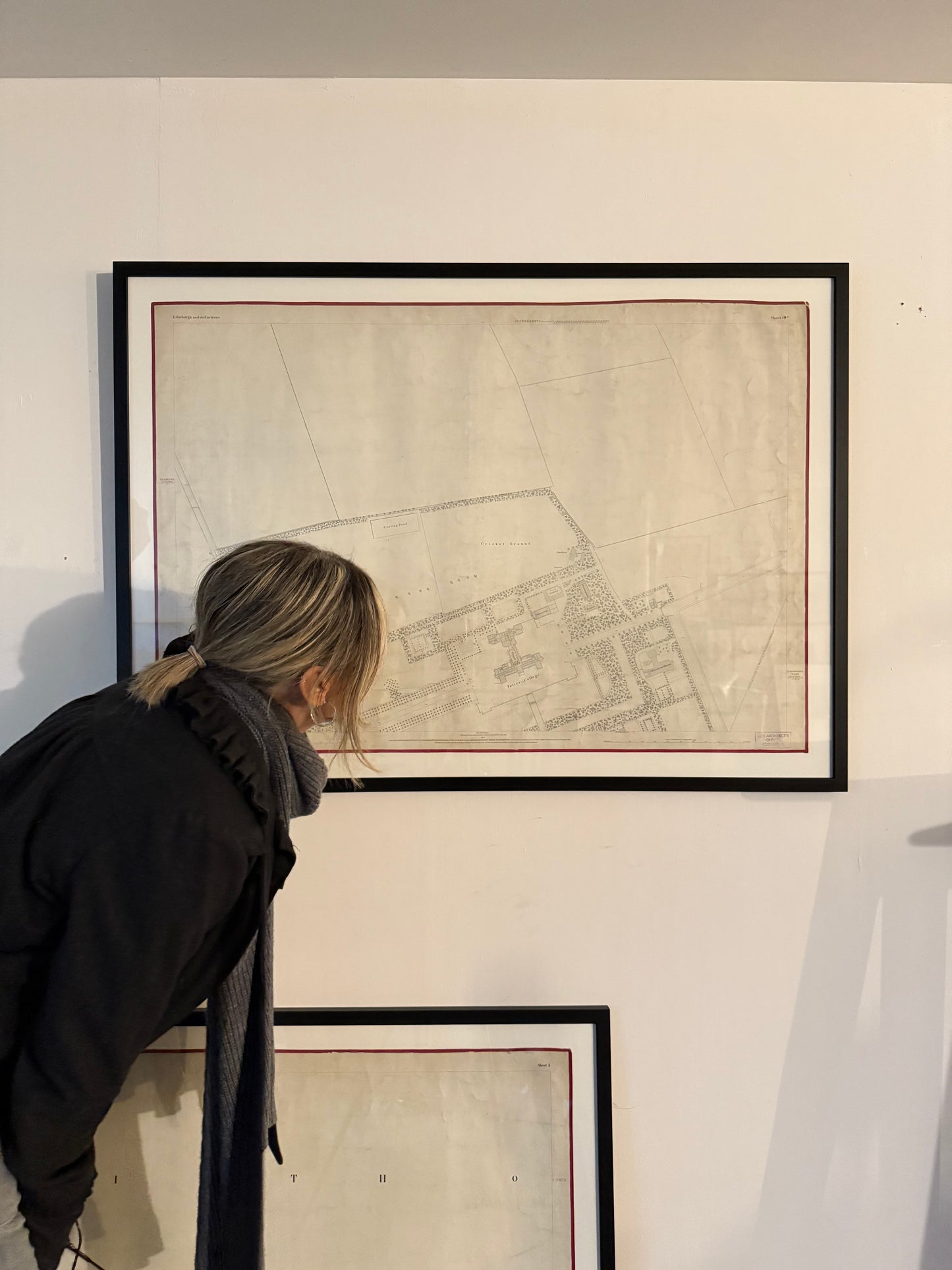
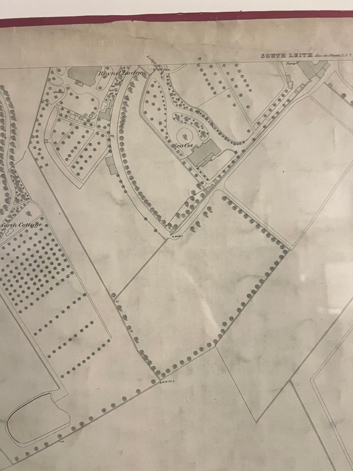
Original waxed linen maps with hand stitched satin edging.
Sheet 22a - Surveyed in 1877 by Captain Kirkwood, engraved in 1878 under direction of Captain Burke, Ordnance Map Office? Published by Colonel Cooke 1878.
Sheet 22 - Surveyed in 1852 by Captains James and Gosset, engraved in 1853 under direction of Captain Driscoll Gosset, Ordnance Map Office? Published by Lt Colonel Hall 1853. Revised 1877.
Professionally framed under glass.
Frame width 108cm / 42”
Map width 97cm / 38”
Frame height 78cm / 30.5”
Map height 66cm / 26”
Price for both maps.
Regular price
£740.00 GBP
Regular price
Sale price
£740.00 GBP
Unit price
/
per
Shipping calculated at checkout.
Couldn't load pickup availability
Share
