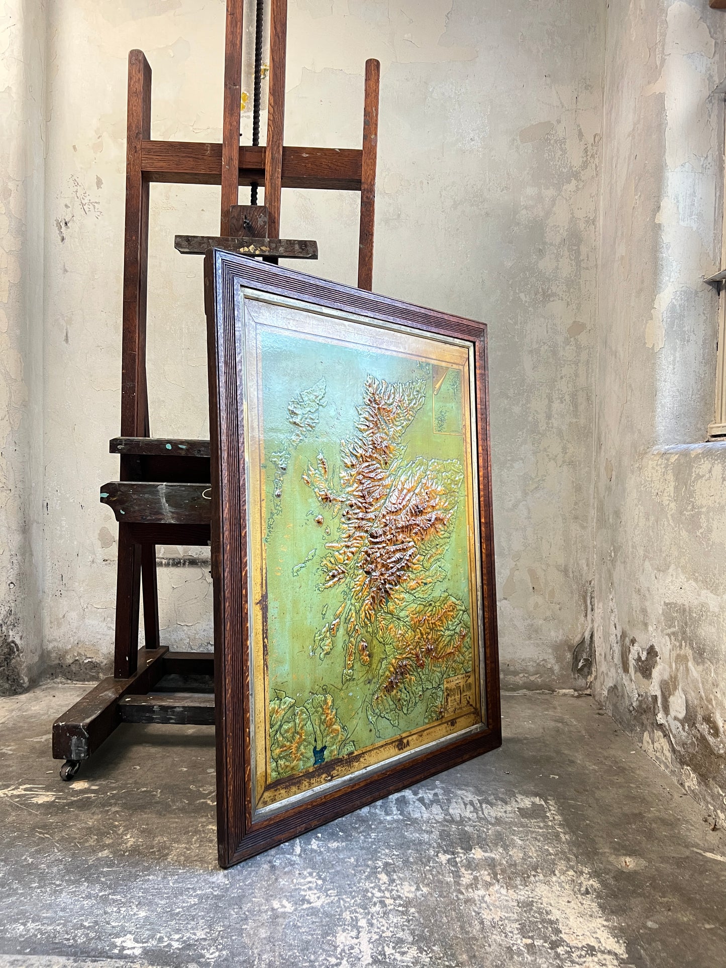
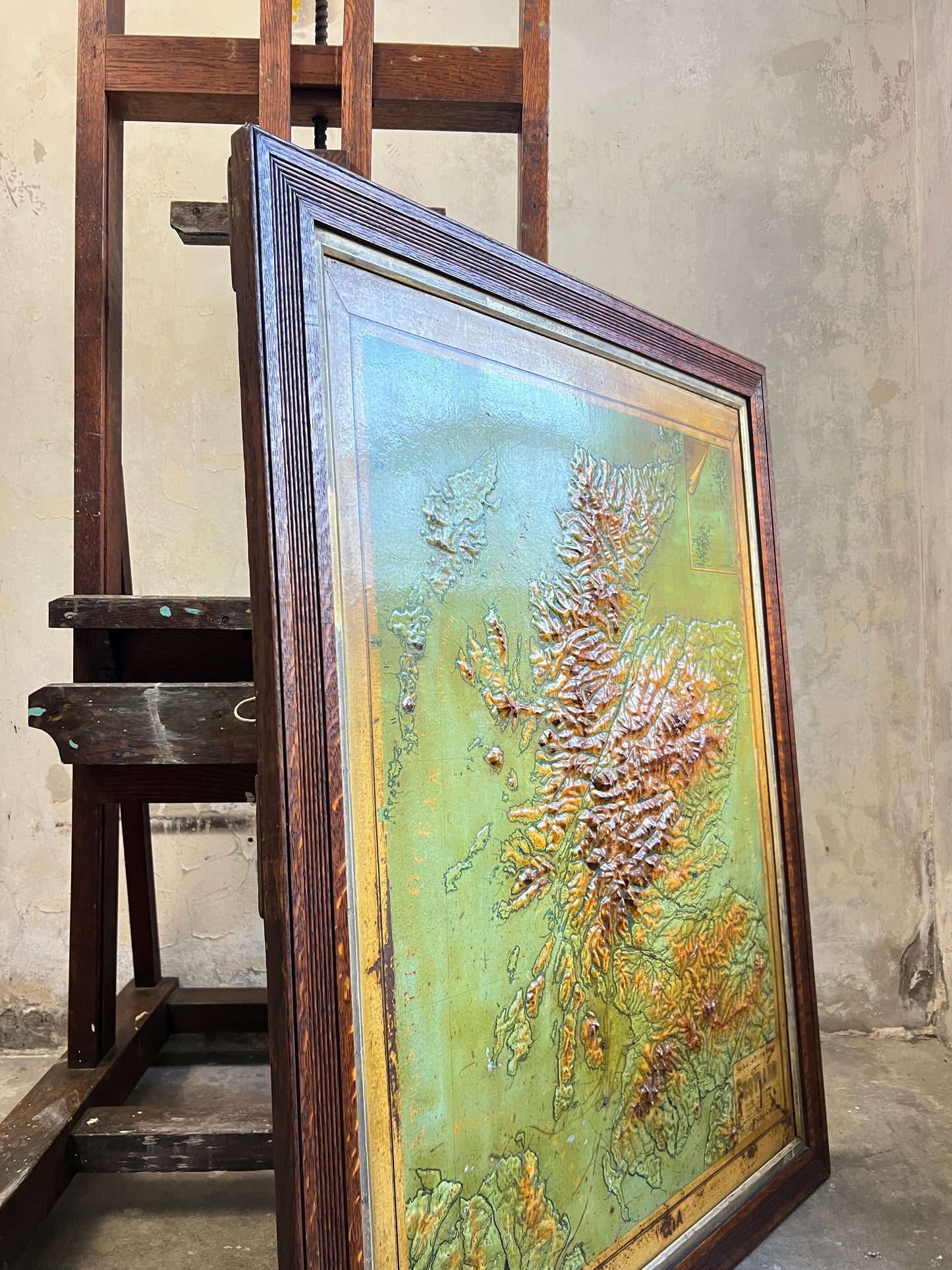
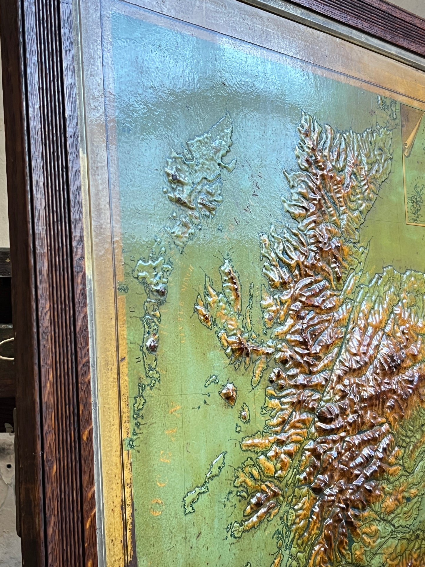
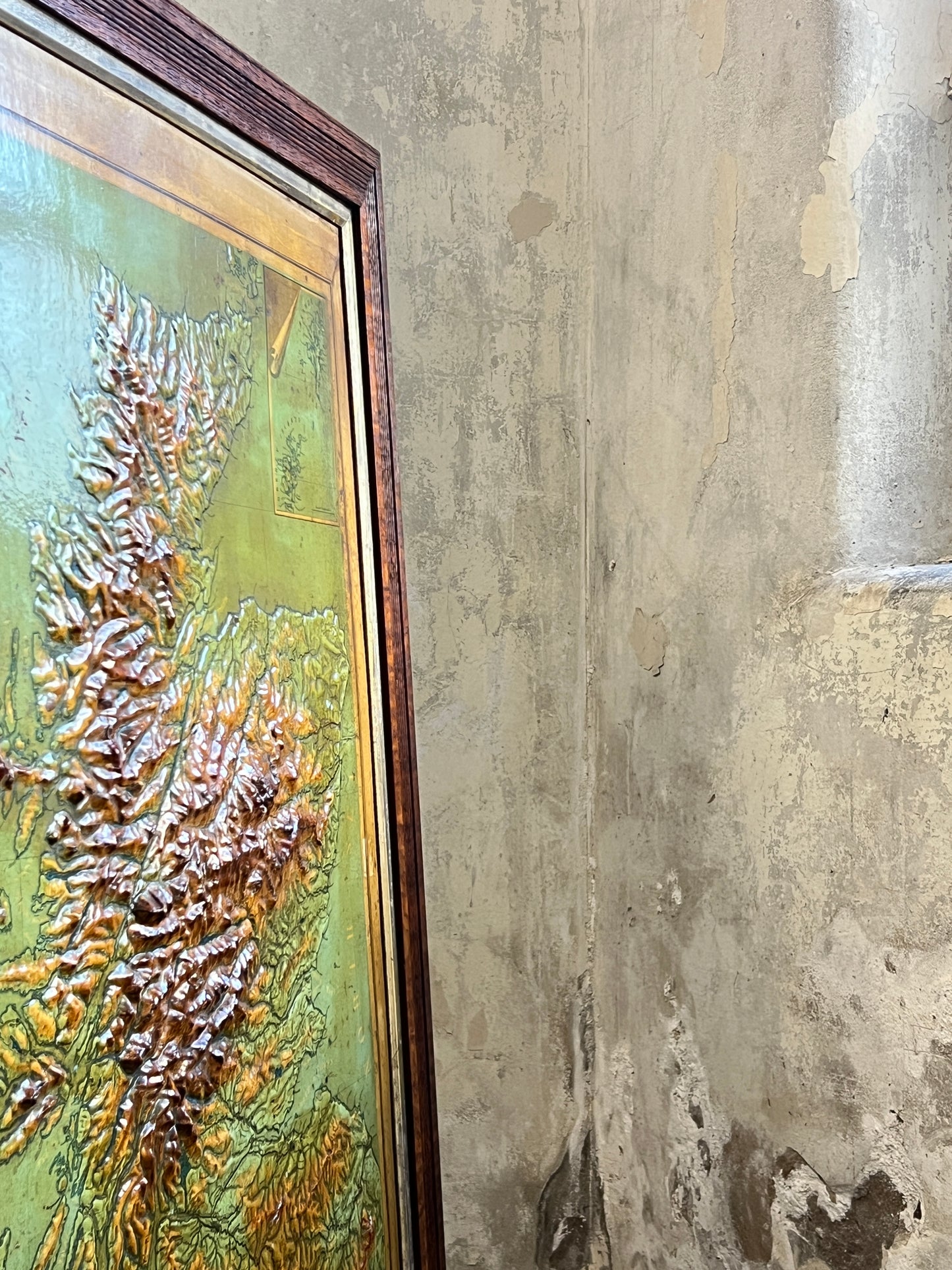
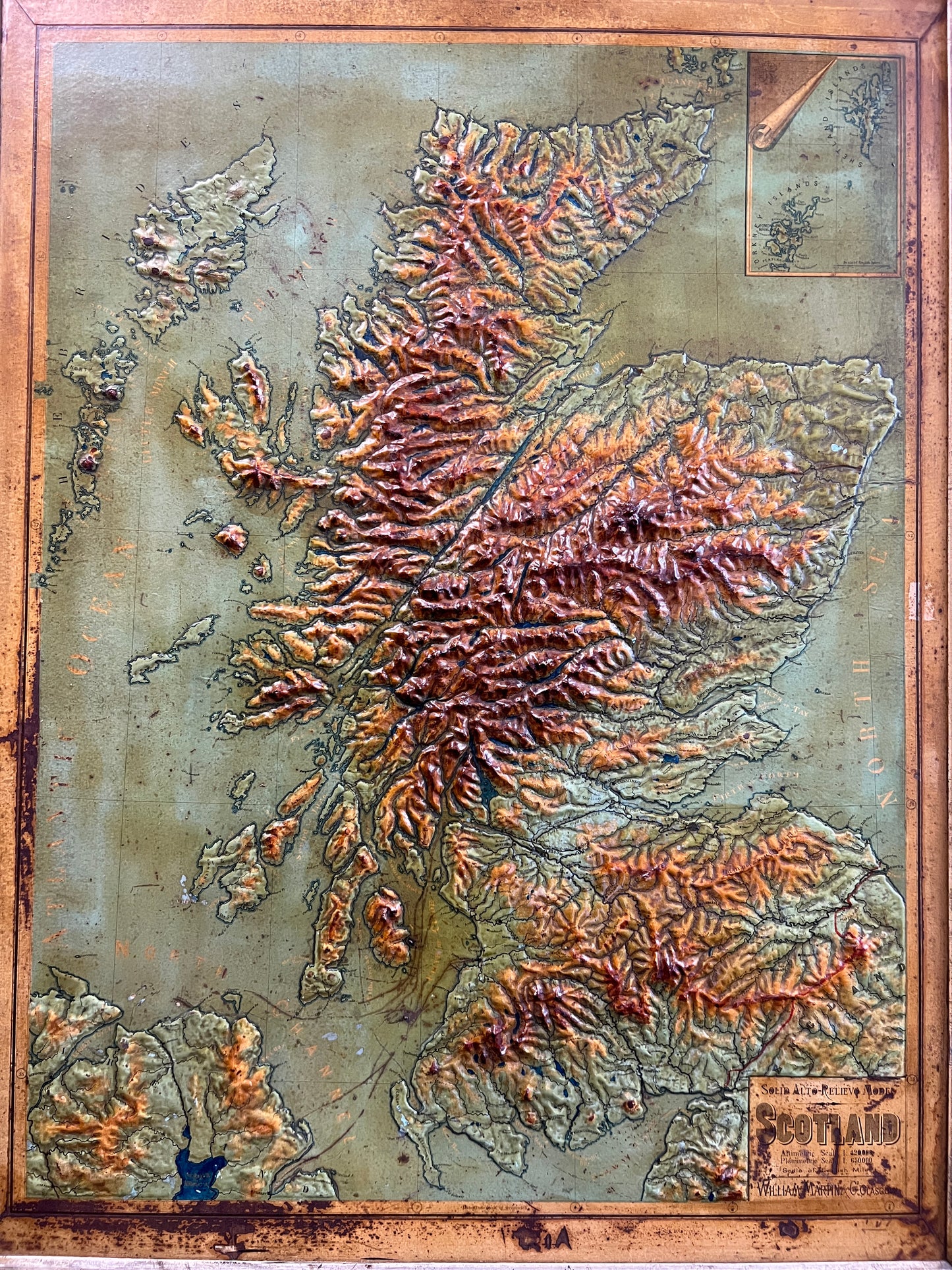
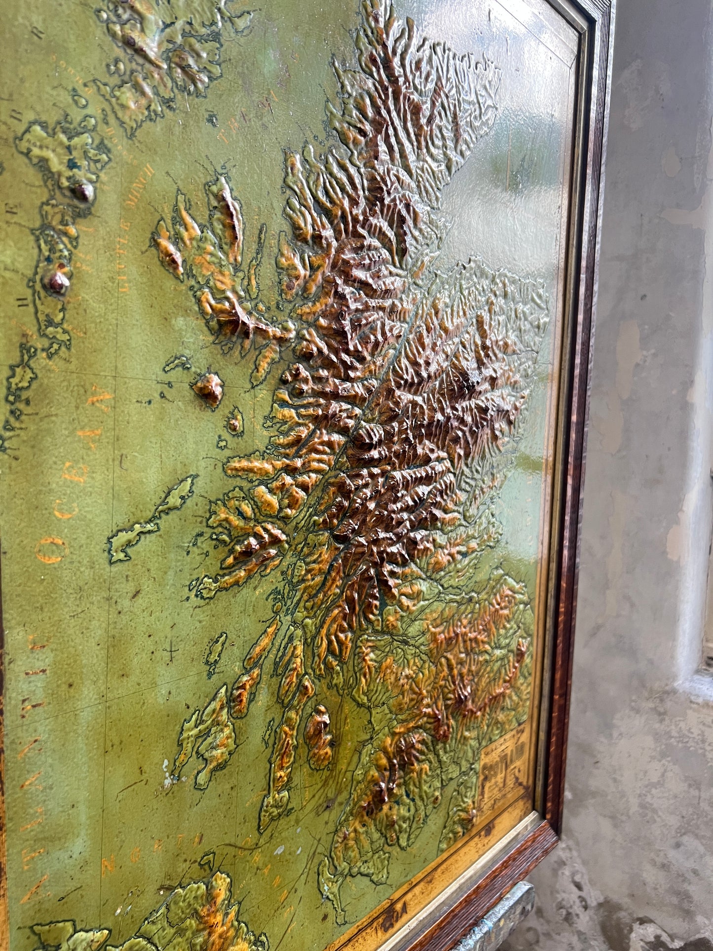
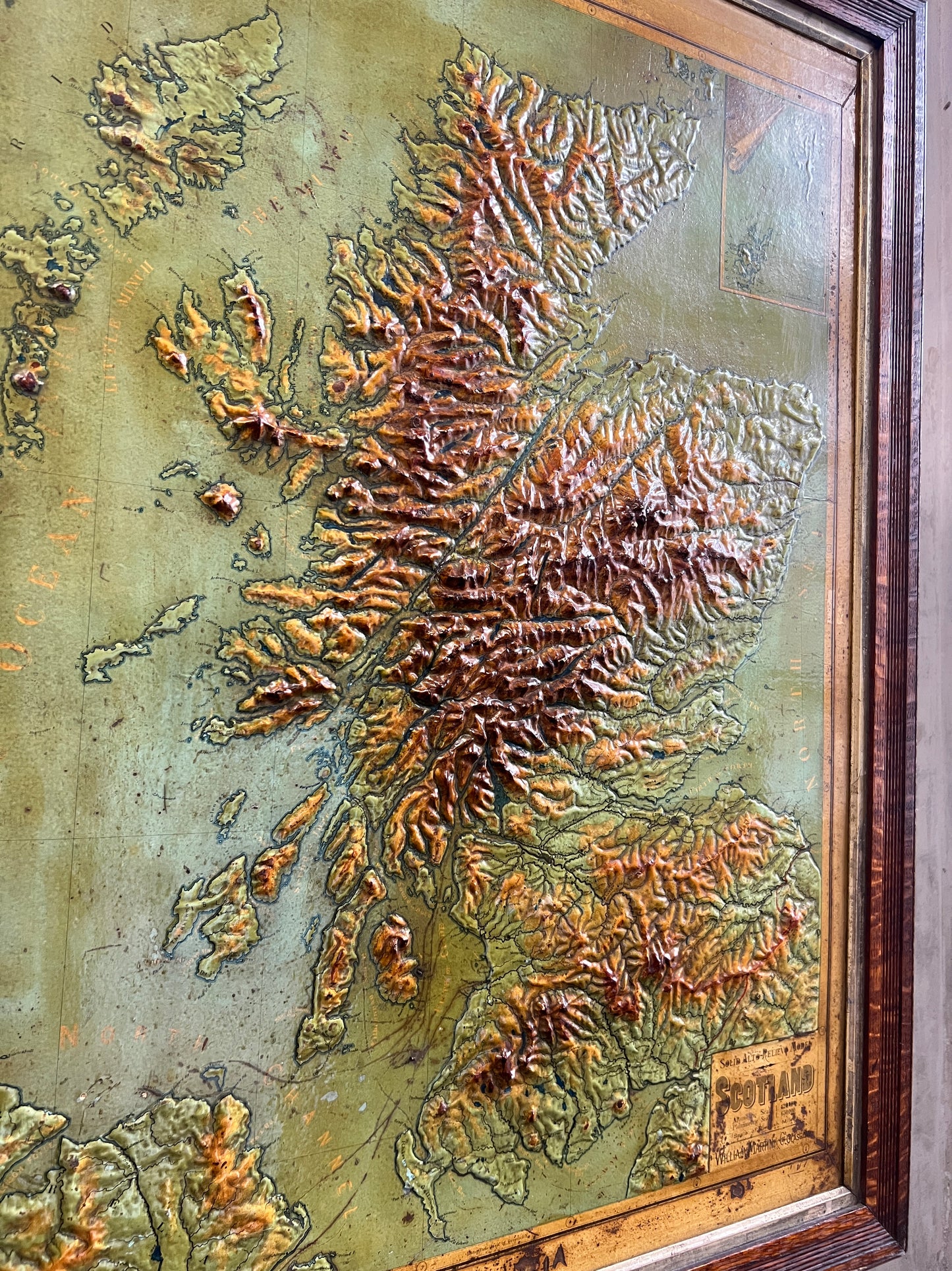
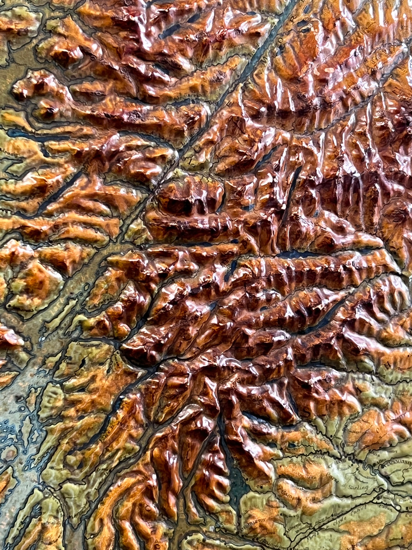
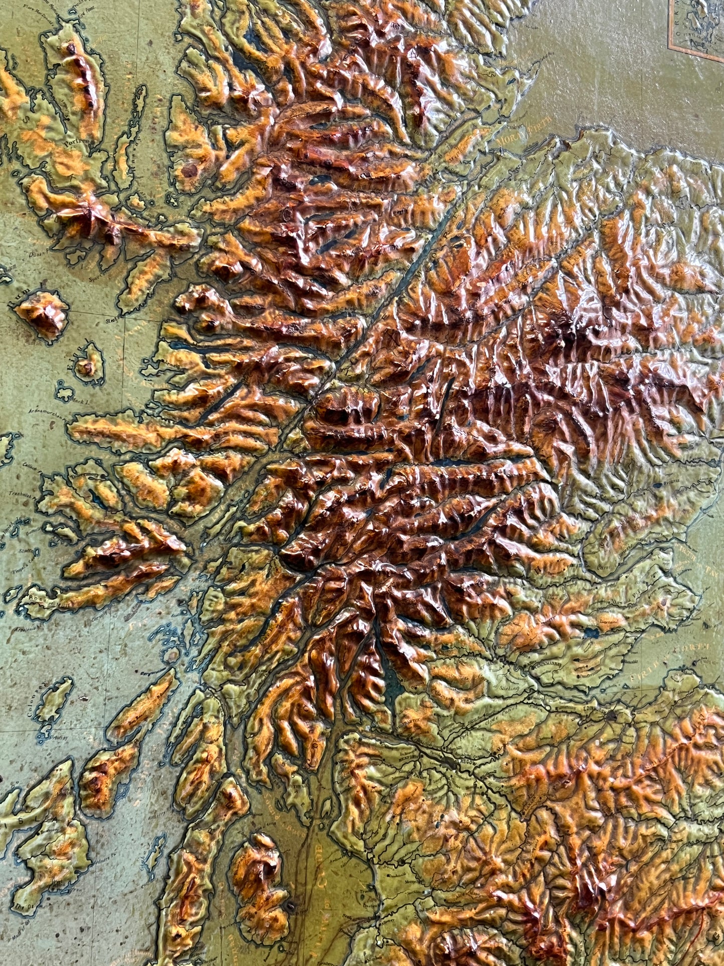
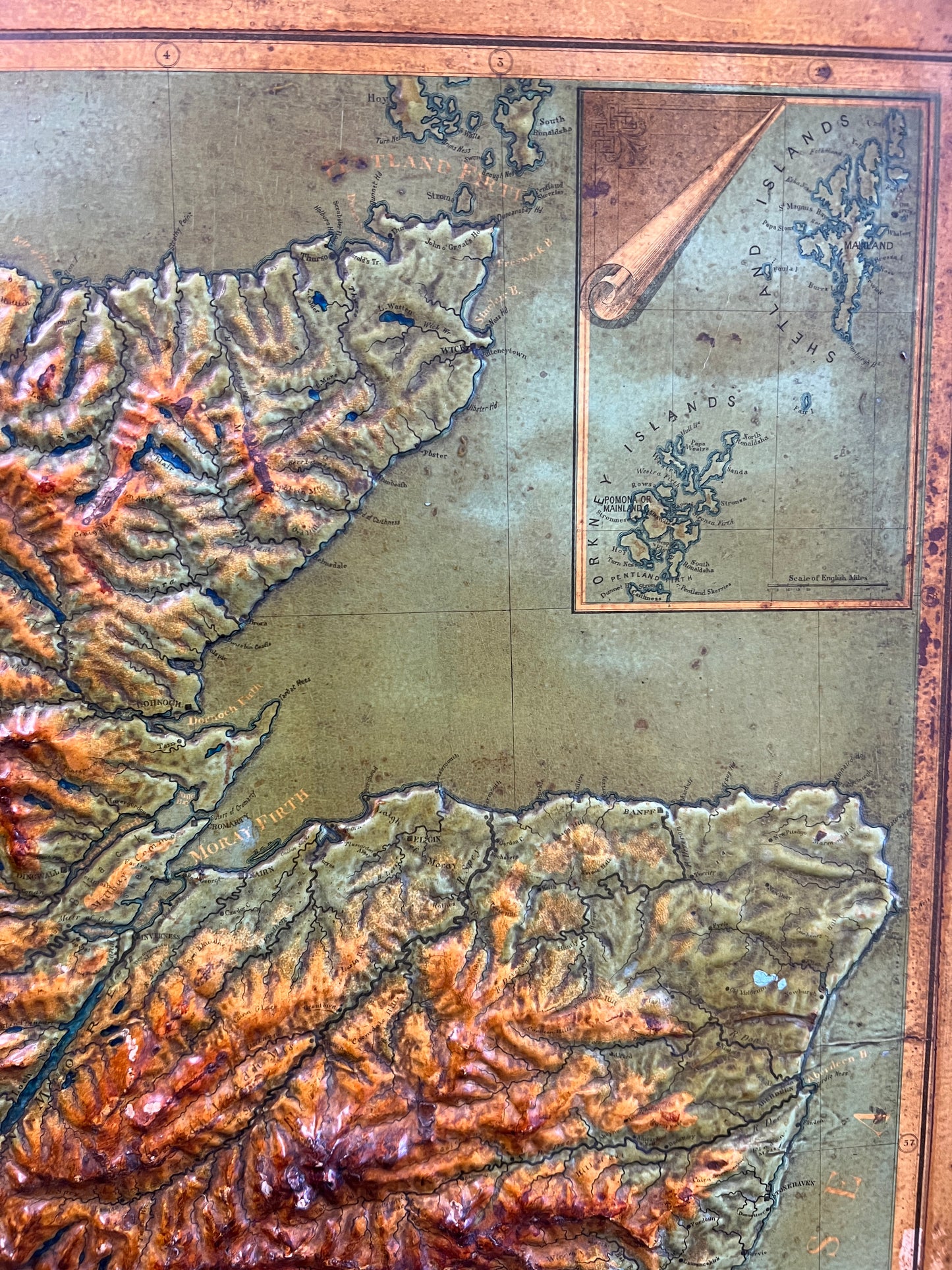
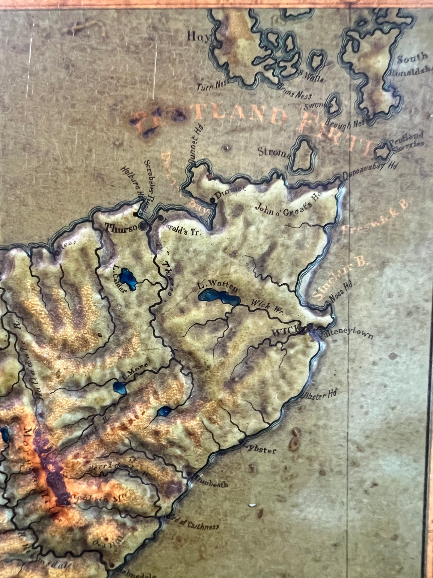
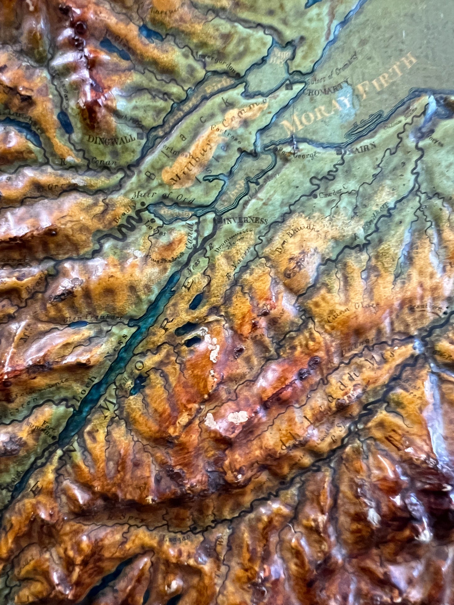
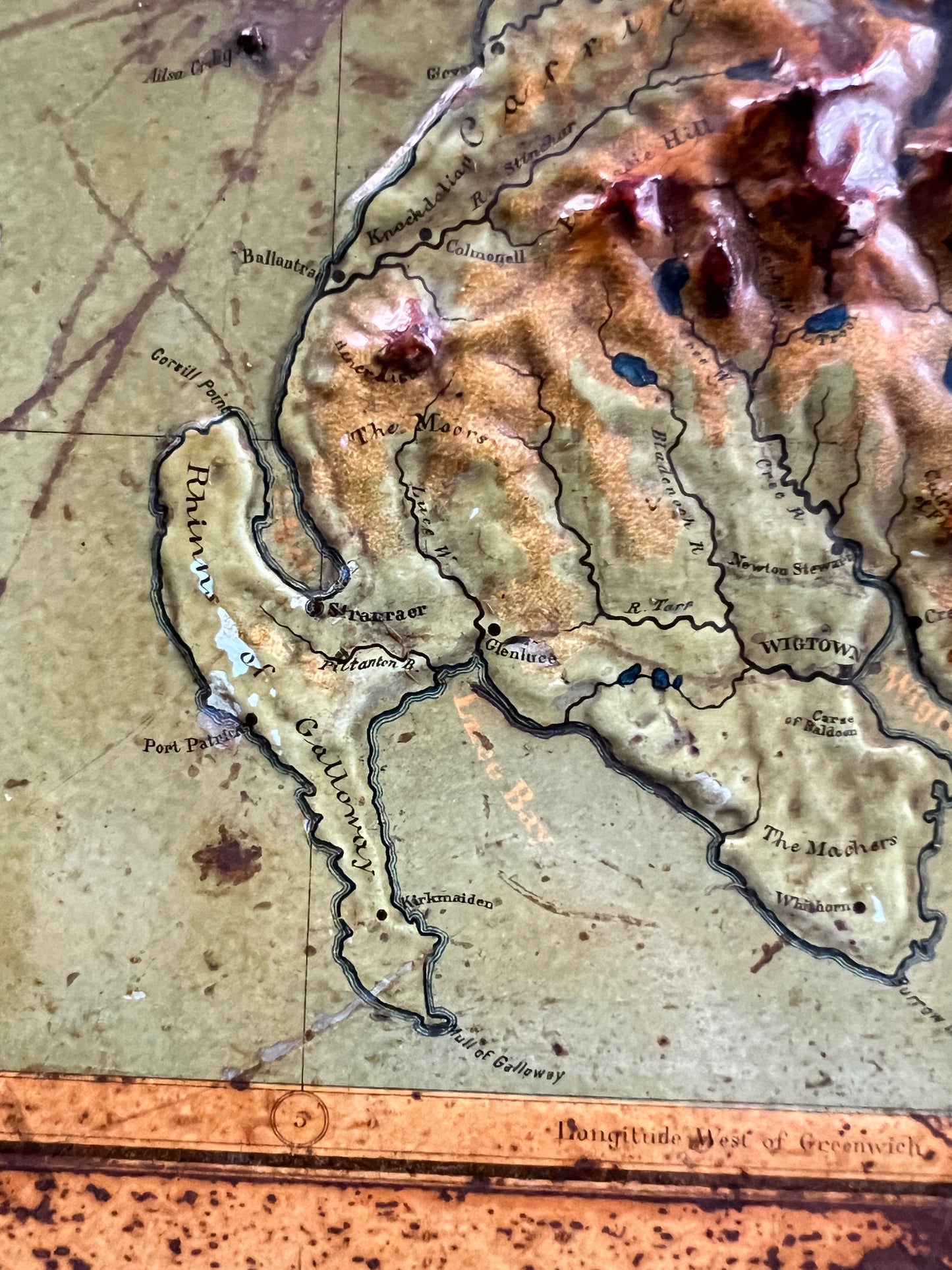
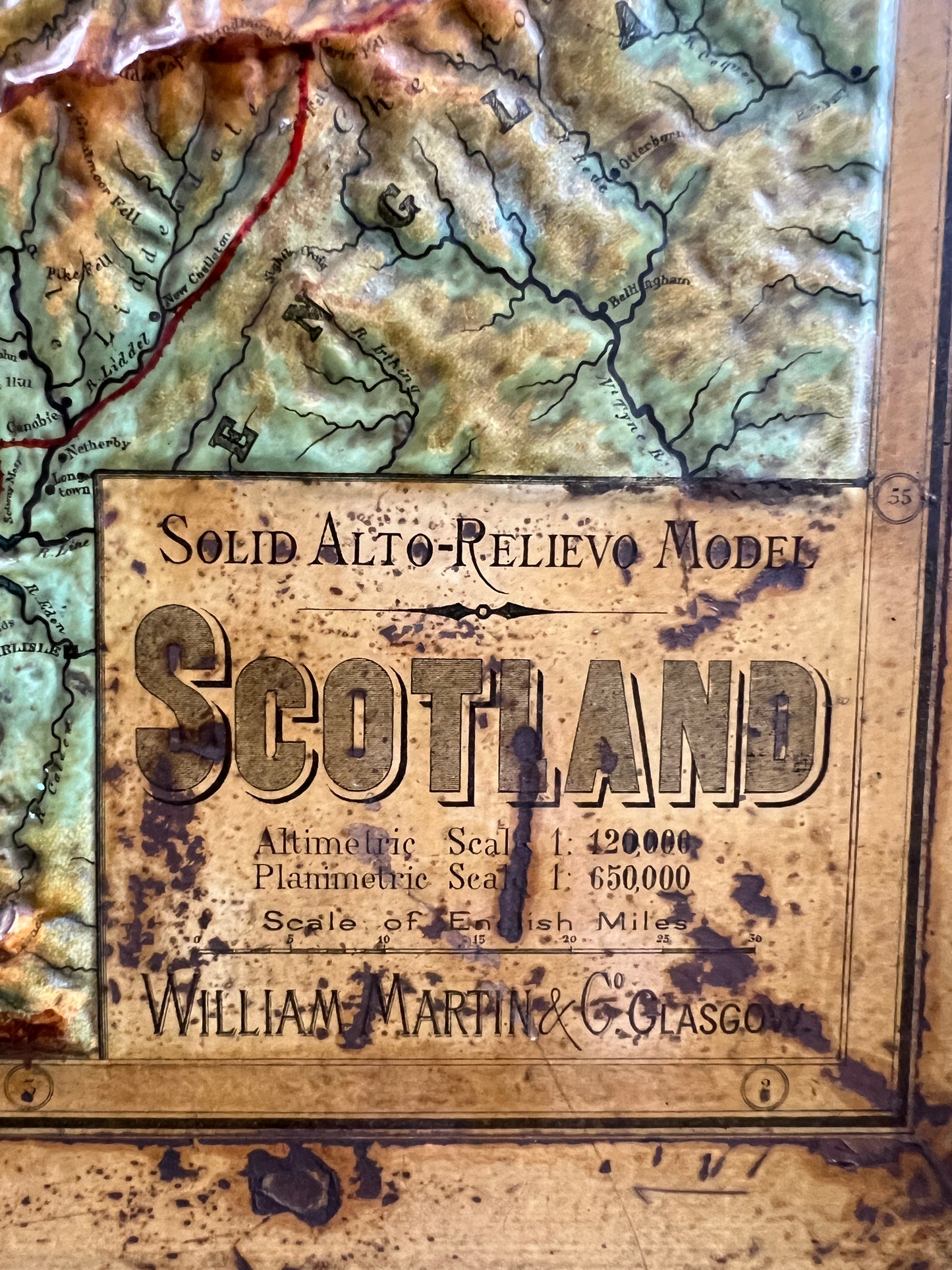
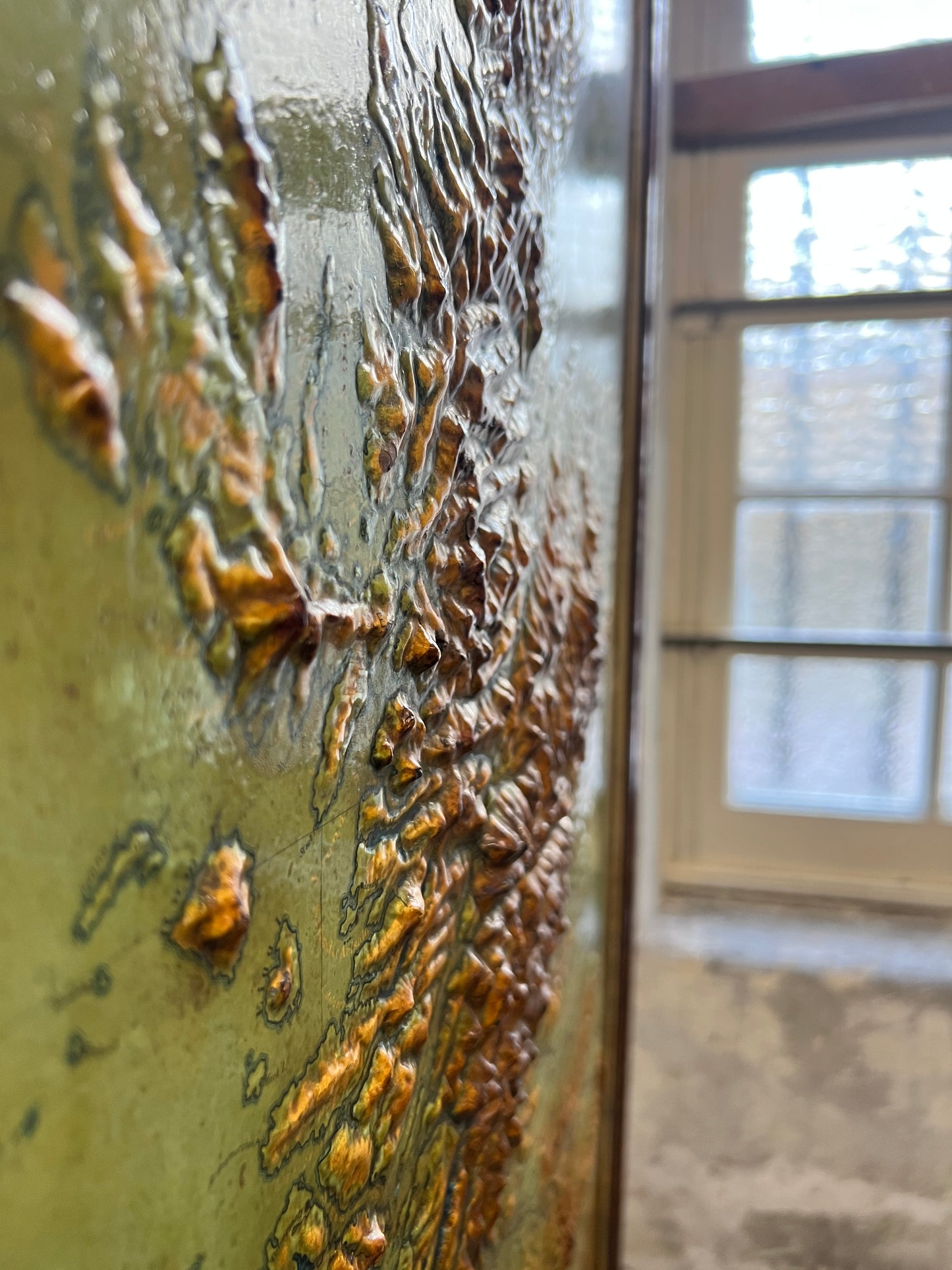
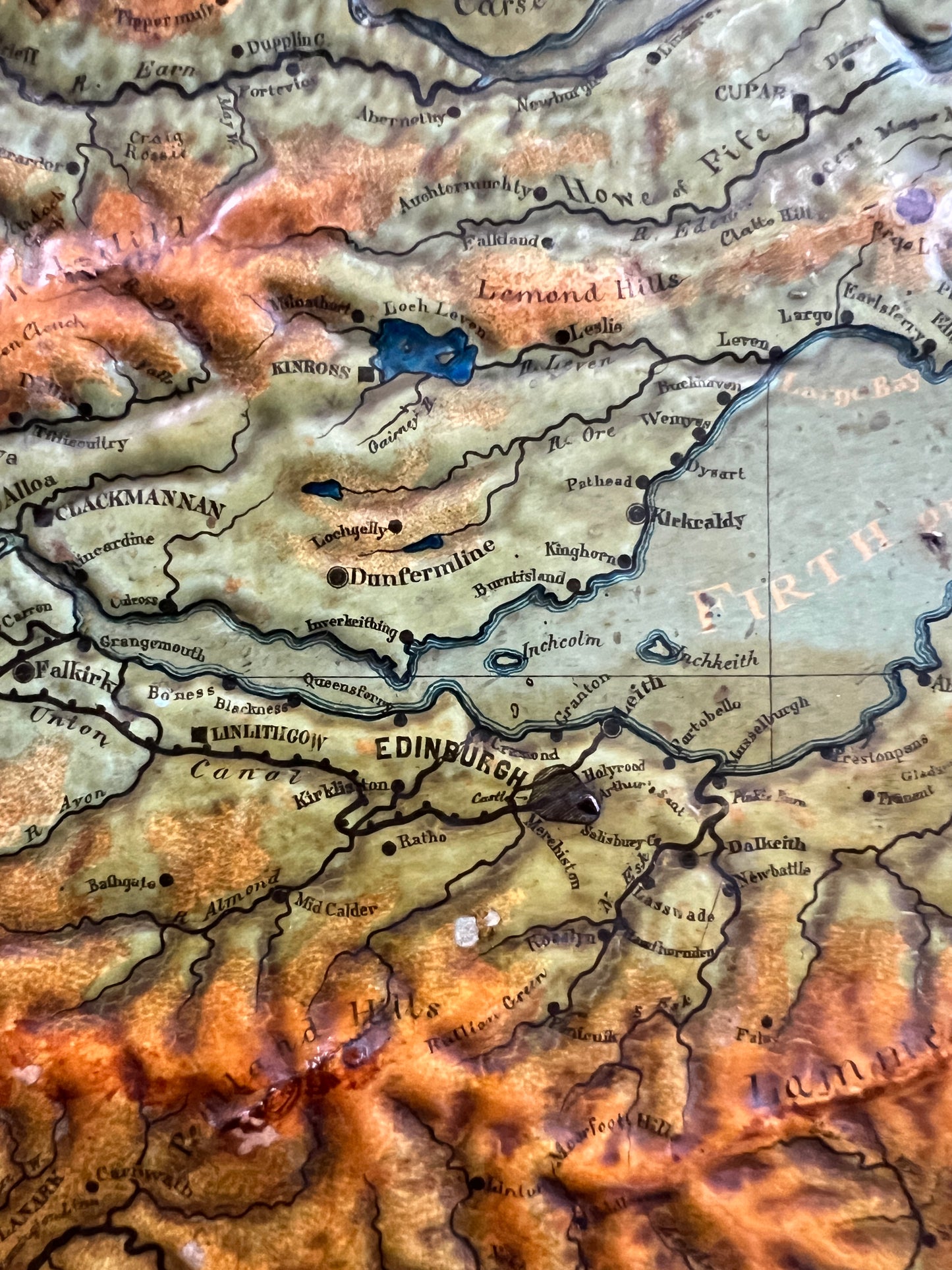
A rare 3D relief map of Scotland - "Solid Alto-Relievo Model Scotland". It was published by William Martin, Glasgow "Produced at the Factory in Italy."
c1890, in original oak frame.
William Martin wrote an article in which he described the Geographical Alto-Relievo Models and their place in education which was published by the Glasgow Philosophical Society in 1887.
Sir Hugh Munro reviewed the map in the 1893 edition of the Scottish Mountaineering Club Journal - "I have lately seen a new alto-relievo model of Scotland brought out by messrs. William Martin of 67 West Nile Street, Glasgow....It appears to have been carefully prepared, although I noticed a few inaccuracies, as for instance, that the whole chain of the Ochils are made far too low as compared with the Highland hills. It is doubtless the largest and most correct relief model of Scotland which has yet been issued, but it is far too small to be of any practical use to the mountaineer, and Mr John Bartholomew's capital Orographical Map - scale 10 miles to the inch - which can be bought for half-a-crown will be found of far more real use. H.T. Munro."