UK and International Shipping Available - Click Here for Information.
viki.knott
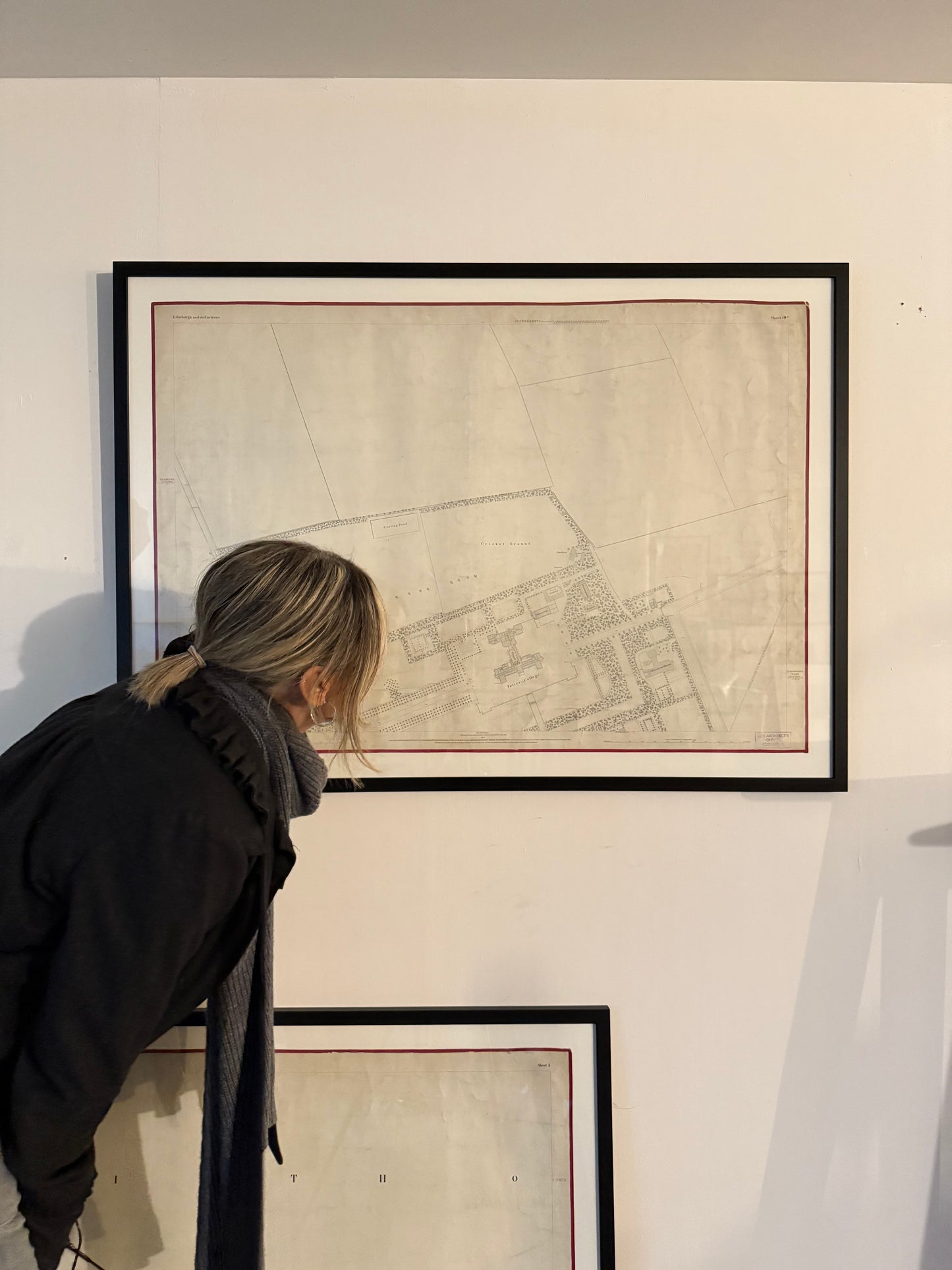
Edinburgh and its Environs Map. Sheet 5.
Original waxed linen map with hand stitched satin edging.
Surveyed in 1852 by Captains James and Gosset, engraved in 1852 under direction of Captain Driscoll Gosset, Ordnance Map Office? Published by Lt Colonel Hall 1853. Revised 1876.
Professionally framed under glass.
Frame width 108cm / 42”
Map width 97cm / 38”
Frame height 78cm / 30.5”
Map height 66cm / 26”
Couldn't load pickup availability
Subscribe to our newsletter to see new stock first.